










PNN Farallones de Cali: hiking Pico de Loro
Pico de Loro is one of three zones of the Parque Nacional Natural Farallones de Cali open for ecotourism. The climb starts at the El Topacio Environmental Education Center, in Pance, about 30 minutes from Cali, and is done with a local guide.
- Price level
- $$$$$
- Duration
- All day
- Address
- Centro de Educación Ambiental El Topacio, Pance corregimiento (rural district), rural southern Cali
Farallones is the mountain range you see west of Cali. According to the park's ecotourism plan, only three zones are open to visitors: Pico de Loro, in the El Topacio sector of Pance; Charco Burbujas, in the El Pato area; and the Anchicayá River canyon. Pico de Pance, the highest peak, isn't open, and authorities have warned that a rescue up there can take days.
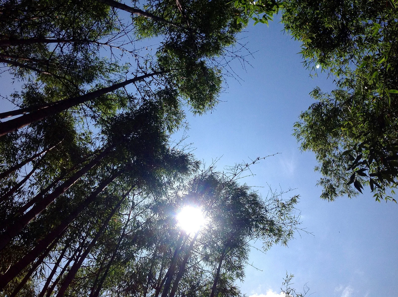
The trail starts at the CVC's El Topacio Environmental Education Center, 6.5 kilometers from La Vorágine. It's about 3.7 kilometers, climbing from 1,700 to nearly 2,800 meters through cloud forest, with bromeliads, moss and birds. The climb is demanding and the full hike, up and back, takes a good part of the day.
The hike is done with local guides from Pance, who need to be booked ahead because daily spots are limited. On weekends, Parques Nacionales and the CVC have checkpoints at El Topacio where visitors are registered. We found no reports of closures in Farallones from the August 2026 earthquake, but confirm with Parques Nacionales before you go.
What to see
- The cloud forest of the Parque Nacional Natural Farallones.
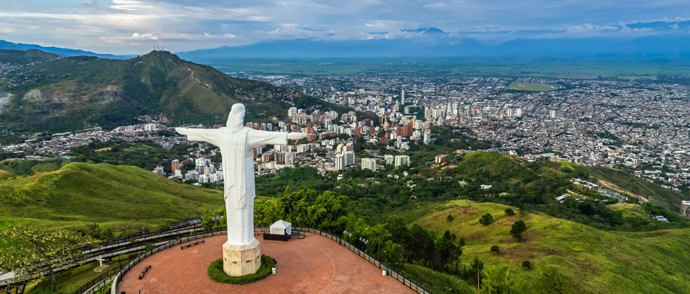
- The view from the top of Pico de Loro toward Cali and the Western Andes.
- Bromeliads, moss and orchids on the trees along the trail.
- Mountain birds on the way up.
Getting there
- By car or taxi on the road to Pance as far as El Topacio, about 30 minutes from south Cali.
- MIO to Universidades station, then a bus toward Pueblo Pance, getting off at the San Francisco area; from there you walk to El Topacio.
Tips
- Book your local guide days in advance; without a guide you can't go up.
- Start hiking early, around 7:00 a.m., to go up and down in daylight; it usually rains in the afternoon.
- Bring a rain jacket, a change of clothes, water in a bottle, sunscreen and insect repellent; it rains and gets cold up top.
- Don't try to go to Pico de Pance or areas that aren't open: it's prohibited and there's no signal to call for help.
FAQ
Is Pico de Loro open?
Yes. It's one of three Farallones zones authorized for ecotourism, along with Charco Burbujas and the Anchicayá canyon. You can only go up with a local guide.
Can you climb Pico de Pance?
No. Pico de Pance isn't open to visitors, and authorities have found unauthorized entries that put people at risk.
How hard is the hike?
Demanding. It's about 3.7 kilometers uphill, from 1,700 to nearly 2,800 meters, on wet ground. You need to be in good shape and wear hiking boots.
How much does it cost?
We didn't find a current official rate. The cost depends on the local guide or tour operator; ask when you book.
On the map
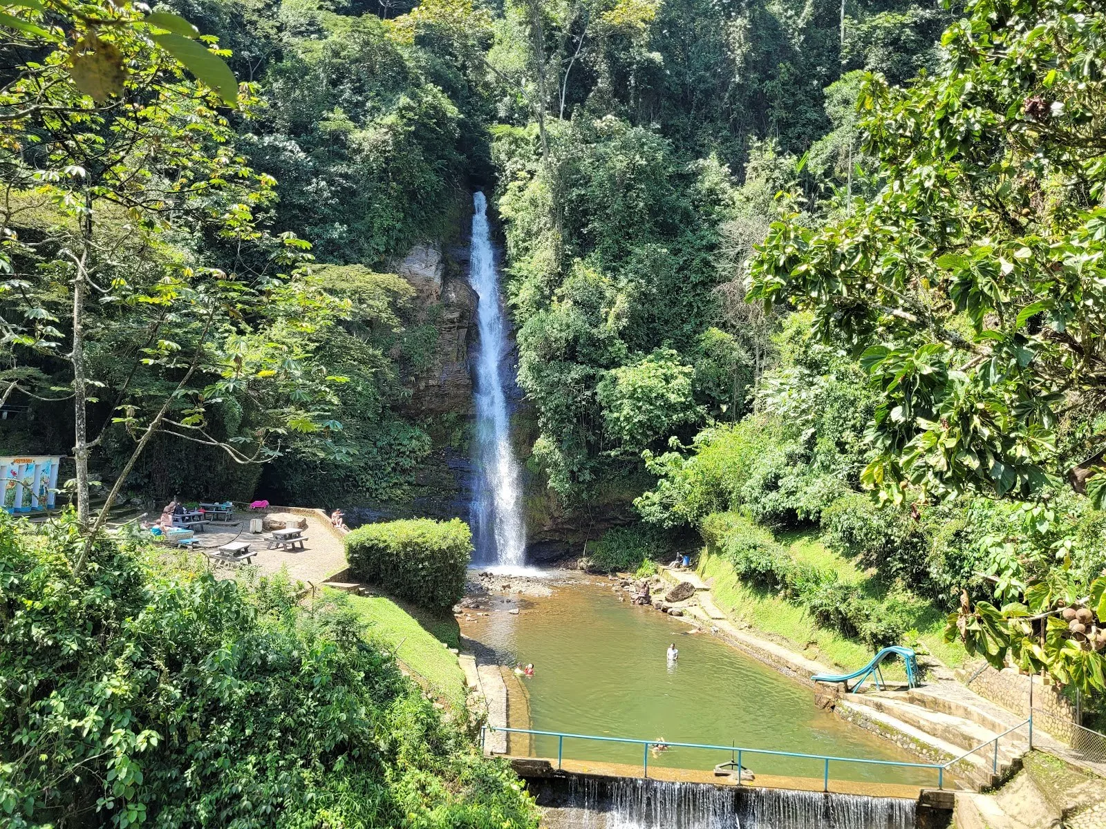
Photos: Experiencia Colombia, CC BY-SA 2.0 · Oscar Eduardo Blandon Lopez, CC BY-SA 2.0 · Tefita228, CC BY 4.0 · Wikimedia Commons